


This map shows the less-well-known south-eastern portion of Temagami, which makes it a great paddling location for those hoping to avoid the summer congestion of Lake Temagami to the north. And it is every bit as worth visiting.
Lots of fine paddling lakes here, and Marten River Provincial Park smack dab in the centre of it all - a great base of operations for your trip. In addition to great campsites and other conveniences, the park has a replica Logging Camp that will take you back to the old days. Most of the east half of the map covers the Nipissing Game Preserve where a noticeable abundance of wild animals can be seen - no hunting or trapping is allowed there. And the railway passes through the east tip of the map in case you'd like to arrive or leave by that method instead of by car.
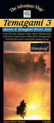
This map includes the area from the west tip of Wicksteed Lake and the railway to the east, Jumping Caribou Lake to the north, Cross Lake and the northern part of Temagami River to the west, and Red Cedar Lake to the south. We also show the southern Temagami River - a short but challenging whitewater route - on the back side.
At 1:50,000 scale this map is larger scale than our other Temagami maps and shows considerably more detail than government topos of the same scale. Campsites, portages, access points, lodges are included, plus the incredibly detailed land and waterscape you've come to expect from The Adventure Map™. The back side is covered with colour photos and text detailing the natural and human history of the area along with suggested routes, safety tips, contact info and much more.
Other guides in our Temagami series include our popular Temagami 2-Lake Temagami, which overlaps the upper left edge of this map, Temagami 1-Northwest, overlapping the north edge of Temagami 1, Temagami 4-Northwest & Sturgeon River, far to the northwest and our newest Temagami 5 - Chiniguchi just to the west of this area. The heart of Temagami is fully covered by this series of 5 maps. If you want them all we also offer a Bundle of all 5 of our major Temagami series maps at nearly a 30% discount! Over $80 worth of maps for under $60. And free shipping in Canada to boot!
Not sure which of our Temagami Area maps you want? You can see how they all relate to each other using our Temagami Area Map Locator Guide - it's one of the images you can select on this page.