


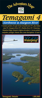


Our#: AM080X, ISBN: 0-929140-80X, Scale: 1:80,000. Waterproof.
This map shows the more remote western side of classic Temagami; the ideal area for a fly-in trip or a lengthy multi-week route. In addition to a selection of paddling routes through large and small lakes, there are several great river routes, and even the chance to hike to the highest elevation in Ontario, Ishpatina Peak.
It is a large map showing all or parts of 5 Provincial Parks as well as several Conservation Reserves that border and help protect them. The largest Park is Lady Evelyn-Smoothwater (LES), the eastern portion of which is found on our Temagami 1-Northeast map. LES includes Maple Mountain (another provincial high point) and the afore-mentioned Ishpatina, as well as several large lakes and strings of lakes, plus a short whitewater gem, the Lady Evelyn River.
Solace Provincial Park covers an unusual collection of string lakes in probably the most remote part of the area that provides a connection between Florence Lake and the Sturgeon River.
Sturgeon River Provincial Park Is a lengthy, wild river-paddle south through both flat and whitewater sections. The current is slow enough that one can also paddle upstream in parts, making for some interesting route choices. We show it all the way south from Stull Lake area near Ishpatina Peak to the junction with Wawiashkashi Lake.
Obabika River Provincial Park is a meandering river-great for wildlife viewing-that connects the eastern part of Temagami and Obabika Lake to the Sturgeon River.
You'll also find and inset of Makobe-Grays Provincial Park which follows the Makobe River north from Banks and Makobe lakes to the small Town of Elk Lake on the Montreal River.
Altogether, these Parks and their companion Conservation Reserves provide a grand network of protected wilderness and canoe routes that can stimulate your senses and give your body a work-out for weeks.
–––––
Other guides in our Temagami series include Temagami 1-Northeast map overlaps the right/east edge of this map, our Temagami 2-Lake Temagami & Area overlaps the middle right/east edge of this map, and our newest Temagami 5 - Chiniguchi overlaps the south edge of this map. Also available is our Temagami 3-Marten & Temagami River Area far to the southeast and overlapping Temagami 2. The heart of Temagami is fully covered by this series of 5 maps. If you want them all we also offer a Bundle of all 5 of our major Temagami series maps at nearly a 30% discount! Over $80 worth of maps for under $60. And free shipping in Canada to boot!
Not sure which of our Temagami Area maps you want? You can see how they all relate to each other using our Temagami Area Map Locator Guide - it's one of the images you can select on this page.