

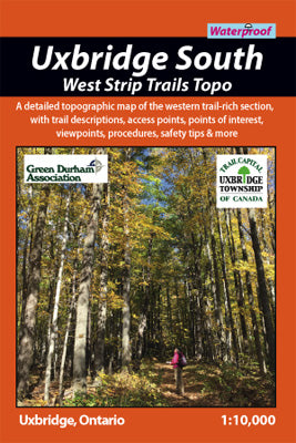
Our#: OM0028, ISBN: 0-929140-02-8, Scale: 1:10,000. Waterproof.
At 1:10,000 scale, this topographic (5-metre contours) map provides a detailed view of the west section of the trail-rich southern portion of the Uxbridge South area. This includes the popular conservation lands of North Walker Woods, Wilder Forest & Wildlife Preserve and Brock Tract as well as sections of the Trans Canada and Oak Ridges long-distance trails. There is over 45-kilometres of trails waiting for you here in some of the most beautiful terrain in the region.
On this guide you’ll also see primary & secondary trail access points and parking areas, detailed contours, emergency addresses, numbered wayfinding posts, UTM grid lines, extraordinary vegetation details, lakes & ponds, viewpoints, other points of interest, and much more. Flip the map over for loads of useful info about local natural history, descriptions for each tract of land, several highlighted routes with trail profiles, as well as trail etiquette, safety tips, colourful photos and other tidbits. It measures 4x6” folded, 12x36” open and is printed on waterproof plastic.
–––––
In addition to this Central Strip Topo, neighbouring topographic maps are also available - the Central "strip" includes the Walker Woods and Glen Major areas, while the East “strip” includes the Durham Forest Main, Skyloft and Dagmar tracts.
As an excellent planning tool for the entire Uxbridge South area, including the Town of Uxbridge, the Countryside Preserve Area and the 3 topographic "strips", we recommend purchasing a copy of the Uxbridge South Recreational Trails - Overview Map. For a pleasant day hike or bike or cross-country ski or snowshoe with easy access and lots of services nearby, consider in the Uxbridge Countryside Preserve, a superb mixed forest and meadow hiking area right on the edge of Town.