

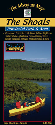
Our#: AM0265, ISBN: 0-929140-26-5, Scale: 1:40,000. Waterproof.
Easy to get to by major highway, this area includes a huge expanse of protected lands and waters within the Provincial Park, the adjacent Windermere-Goldie Lake Conservation Reserves and the Chapleau Crown Game Preserve (the world's largest). Our map is over 40% water! Well actually it's plastic, but it shows a lot of water. : )
Still relatively unknown, and therefore quieter than other Parks, it used to be an "operating" park with staff, maintenance, a great lakeside serviced campground in a red pine forest, plus an extensive wilderness area of superb paddling and hiking terrain. But a few years ago now it was changed to "non-operating" status, which means while it is still a Provincial Park, and still accessible, there is no longer any staff or maintenance.
Which definitely doesn't mean it should be avoided.
In fact, it's now even quieter and more remote than before. For canoeing enthusiasts there are a number of smallish lakes and sheltered bays to keep you occupied for a week or two, and a lovely river with waterfall campsite. Experienced paddlers and sea kayakers will especially appreciate the huge expanse and intricate shoreline of Windermere Lake, with short carries into adjacent lakes. This area also has the added bonus of being one of Ontario's most fascinating geological treasures with eskers and other relics of the glacial age readily seen.
For an added treat, paddlers, including their canoe or kayak, can easily travel here and back by train from Sudbury (3x each week). It's easy. You'll get off and back on the train right at Windermere Lake (and on our map).
At 1:40,000 scale, our map shows the area in extraordinary detail, and includes our usual features of essential interest to paddlers and tourists alike. You'll find access points, campsites, portages, points of interest, trails, and lots more, as well as text, inset maps and colour photos (both current and historic) describing the route, human and natural history, local attractions, etc.
Like all Adventure Maps® this one is completely original and made specifically for the paddling, hiking and wilderness adventure audience. And like most of our maps, this one has been adopted by the local Provincial Park as their guide to the area.
–––––
BTW, check out Potholes Provincial Park on your Highway 101 drive east from Wawa to The Shoals - one of them is bigger than you and me combined!