
Collection: Ontario Provincial Park Maps
Each of these map guides is focused entirely or largely on one of Ontario's over 300 official Ontario Parks. Most of them have one or more serviced campgrounds, several hiking or backpacking trails, lakes and rivers suited to paddling, swimming and fishing, various attractions in the form of exhibits, museums, evening programs and guided walks. Some also have mountain biking trails, and/or winter season cross-country skiing routes. Reservations are usually needed for campgrounds, backcountry trips or day-use visits particularly on weekends and busy times in the summer.
We provide a lot of information on the back of each map about natural and human history of the place, activity and route suggestions, etiquette and procedures, safety tips, contact info and much more, often including a special feature of the area, such as star & moon-gazing charts on our Algonquin 3 - Corridor South guide, what the fur-trade was all about (voyageurs, men's hats & freight canoes) on our Mattawa River guide, the Ice Age on The Shoals guide, and so on. Makes for a good read when preparing for your trip and also on those wind-bound or rain days!
So don't delay - pick your Park and get out there!
-
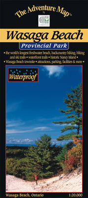
Wasaga Beach Provincial Park & Area (AM0443)
![]()
- Regular price
- $6.95
- Sale price
- $6.95
- Regular price
-
- Unit price
- per
Sold out -
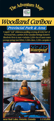
Woodland Caribou Provincial Park & Area (AM0427)
![]()
- Regular price
- $16.95
- Sale price
- $16.95
- Regular price
-
- Unit price
- per
Sold out -
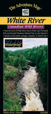
White River Provincial Park & Area
![]()
- Regular price
- $14.95
- Sale price
- $14.95
- Regular price
-
- Unit price
- per
Sold out


- Previous page
- Page 2 of 2