


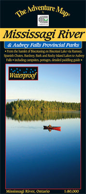


Our#: AM0729, ISBN: 0-929140-72-9, Scale: 1:80,000. Waterproof.
This is one of Ontario's lesser-known, and used, wilderness paddling rivers. That's a little odd given that the 191-km-long route begins at the head of one of the region's most popular wildwater routes - the Spanish River (for which we also have an Adventure Map® guide).
However, despite it's lack of popularity, the Mississagi River is worthy of consideration as one of the finest northeastern Ontario trips due to a great combination of large and small lakes, narrow rivers, some great whitewater sections and even a big waterfall at the west end. There are also a variety of access options, including by train. And anytime you have historical luminaries such as Tom Thomson and Grey Owl involved, you know you're onto something.
Our waterproof, 1:80,000 scale, completely original topographic map has unprecedented detail (far more than government topos), and includes official campsites, portages, access points, historical points of interest (like Grey Owl's cabin and the place where Tom Thomson almost drowned), plus many other useful features.
Our guide measures a handy 20x26" in size when opened, has a contour interval of 15 metres, and includes plenty of text and photos about local natural and human history, a detailed canoe route description (including portage lengths and which side of the river they're on), safety tips, contact info, great colour photographs - in short just about everything you'd want to help you plan and enjoy your trip.
–––––
Check out the simple map highlighting the area that our guide covers, including the various access points, and also noting other Adventure Map® guides in the region. These include the closely-related Spanish River which shares the Biscostasing Access. Halfway Lake offers a short, little-used backcountry paddling route as well as some great hiking trails with exceptional lookouts. And don't confuse this Mississagi River area with Mississagi P.P. & Area a little further south near Elliot Lake. It, too, is an exceptional paddling (and even better hiking) area. Further off, on the south shore of Killarney Provincial Park is our popular sea-kayaking area - Philip Edward Island & Area.