

Our#: AM0346, ISBN: 0-929140-34-6, Scale: 1:16,000. Waterproof.
Located on a broad point of land jutting north into Georgian Bay, Awenda is well-known for great hiking, exceptional views from an escarpment well above the lake, superb cross-country skiing in winter, and fine beaches. Several campground pods offer accommodation for longer-term visitors or just drop in for a day to fish one of the inland lakes, paddle a canoe or hike/bike one of the trails.
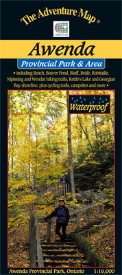
Our very detailed 1:16,000 scale topographic map shows trails, viewpoints, lakes, streams, wetlands, open areas, extraordinary contour detail and much more. And the back side is filled with informative text and colour photographs about the natural and human history of the area, trail descriptions, safety tips, contact info, and more.
–––––
If you like the Georgian Bay coast, then consider our Wasaga Beach map guide. It's a lot more than a fabulous beach - we cover the entire town and large forested dune & trail complex well back from the beach, a real hidden gem. Further east and north there are also the sea kayaking meccas of Franklin, Mink & McCoy Islands near Parry Sound, and the Philip Edward Island complex on the south edge of Killarney Provincial Park - both are exceptional.