

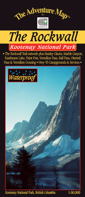
Our#: AM0311, ISBN: 0-929140-31-1, Scale: 1:50,000. Waterproof.
Superb backcountry campsites and a network of over 100 km of hiking/backpacking trails await your journey along The Rockwall, the towering 900-metre high face of rock overlooking some of the most spectacular scenes in the Rockies.
There are a variety of easy to access attractions along Highway 93, including the Paint Pots, Marble Canyon, Numa Creek, and Vermilion Crossing, and even, after a bit of a hike a glacier. We also show a number of trails in adjacent Banff and Yoho National Parks. This guide covers the entire north end of Kootenay National Park and overlaps our Lake O'Hara map.
–––––
Also consider our map of Yoho National Park-Lake O'Hara, which overlaps this map to the north. A superb isolated bowl with extraordinary views form over 80 kilometres of trails.