

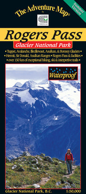
Our#: AM0281, ISBN: 0-929140-28-1, Scale: 1:50,000. Waterproof.
Add the cool grandeur of huge glaciers and icefields to the majesty of the Columbia Mountains and you've got British Columbia's Glacier N.P. It's a fabulous hiking, camping, mountaineering and winter adventure destination.
This 1:50,000 scale map covers the hub of summer activity in Glacier NP, including hundreds of kilometres of hiking trails and ski country, the historic Rogers Pass itself, train tunnels, facilities, and attractions.
One of our finest maps showing amazing contour detail, glacier and terrain features.
As if a great map weren't enough, the back side is full of beautiful colour photos and helpful info about the park history, animals, fish and birds, hiking trails, other attractions, contact info and much more. This has been adopted by the Park as the standard reference for the area.
–––––
And don't forget our new Glacier Nation Park - Winter Version map guide of this world-class (really!) alpine skiing and snowboarding destination.
Also consider our map of Mount Revelstoke National Park, which is just a few kilometres west of Rogers Pass, and also has an abundance of hiking and biking trails, plus plenty of incredible scenery.