

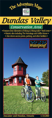
Our#: AM0737, ISBN: 0-929140-73-7, Scale: 1:10,000. Waterproof.
A wilderness conservation area between the towns of Ancaster and Dundas, this area is popular with hikers, mountain bikers, and horseback riders looking for extensive trails and solitude among the rolling hills and beautiful scenery of the Niagara Escarpment. Also includes a section of the Bruce Trail.
The ultra-large scale of 1:10,000 ensures lots of trail, topographic and vegetation detail, and on the back side we've got the usual colour photos and text details about local history, flora and fauna, trail descriptions, safety concerns, contact info and more.
We're pleased to note that this map was adopted as the official map of Dundas Valley by the Hamilton Region Conservation Authority.