

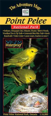
Our#: AM0192, ISBN: 0-929140-19-2, Scale: 1:16,000. Waterproof.
One of our first Adventure Maps® (updated several times since), this special place is located at the same latitude as northern California. It is one of the world's most famous gathering places and directional beacons for hundreds of species of birds and butterflies. Point Pelee is also the most southern point of mainland Canada.
A great place to hike, bike and paddle, this 1:16,000 scale map shows trails, picnic areas, parking areas, canoe routes, beaches and other attractions.
The back side as is the case for all our maps is covered with colourful photographs and text about natural history, birding and butterfly migrations, facilities, safety tips and contact info.
–––––
Looking for another southwestern Ontario destination? Try our Pinery Provincial Park guide. Great beach, great birding, great biking, wild deer, and right near the lively town of Grand Bend.