

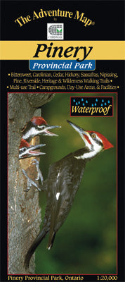
Our#: AM0214, ISBN: 0-929140-21-4, Scale: 1:20,000. Waterproof.
Located on the Ontario shore of Lake Huron just 60 km north of Sarnia, the rolling dunes and unusual oak savanna forests of Pinery create a popular destination for hiking, biking, paddling, and camping.
Also a great place for animal and birdwatching. For example, thousands of Tundra Swans return to this area each spring on their way north.
Our large-scale 1:20,000 topographic map shows all trails, lakes, streams, wetlands, open areas, extraordinary contour detail and even individual campsites.
And the back side, as usual is filled with informative text and colour photographs about the natural and human history of the area, trail descriptions, canoe routes, safety tips, contact info, and more.
–––––
Looking for another southwestern Ontario site - consider Point Pelee National Park, which is located on major bird and butterfly migration routes, and is also Canada's southernmost mainland point.